COMPANY LIMITED
COMPANY LIMITED

Authorised Reseller
for Hong Kong and Macau SAR, PR China
HARDWARE
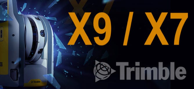
Trimble X7 /X9 3D Laser Scanner
Versatile advanced scanning and imaging you can depend on
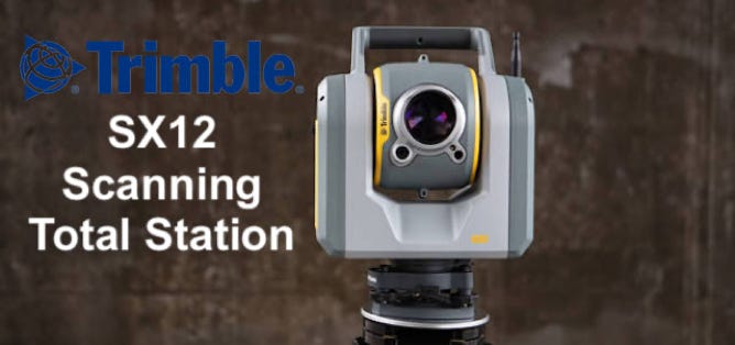
Trimble SX12
Scanning Total Station
Collect survey data, VISION™ imagery, and high-speed scans easily
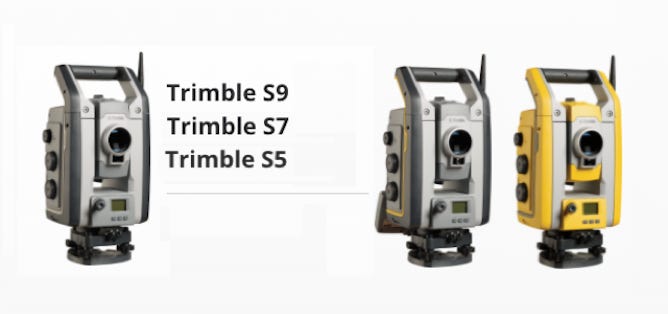
Trimble S Series
Combines top field technologies with the highest level of accuracy and most advanced engineering features
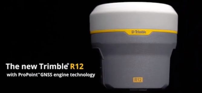
Trimble R12i GNSS receiver
With Trimble ProPoint™ GNSS technology and new Trimble TIP™ tilt compensation

LiBackpack DGC50
GNSS+Panoramic Camera+Dual Laser Scanners Integrated Backpack SLAM system
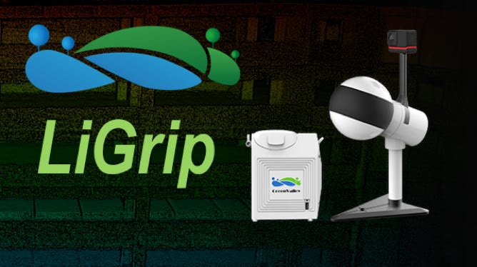
LiGrip
Rotating Handheld SLAM LiDAR System
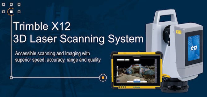
Trimble X12 3D Laser Scanning System
Accessible scanning and imaging with superior speed, accuracy, range, and quality
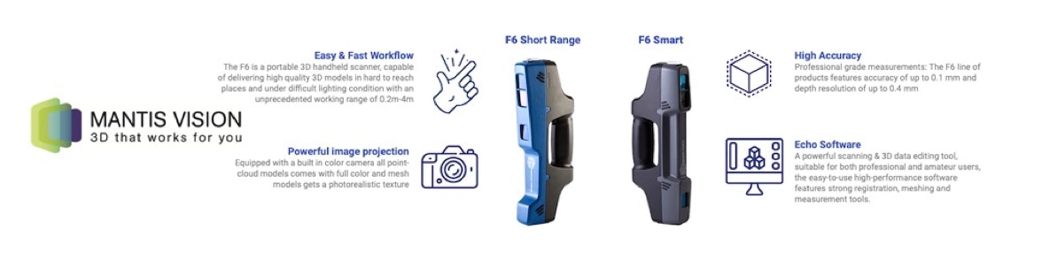
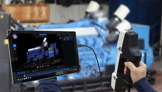
Mantis-Vision F6 Series
High performance 3D handheld scanner with widest scanning distance on market
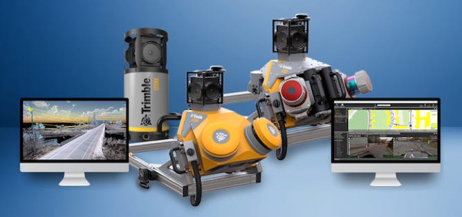
Trimble Mobile Mapping System
easy-to-use vehicle-mounted data capture system
SOFTWARE
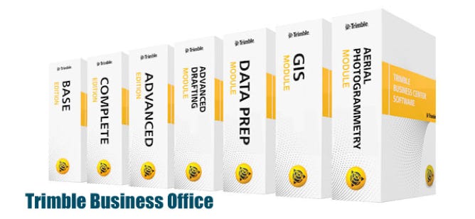
Trimble Business Center
Office Survey CAD Software for Surveyors
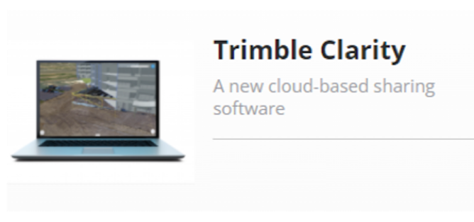
Trimble Clarity
A New Cloud-based Sharing Software
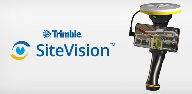
Trimble SiteVision
Outdoor Augmented Reality System
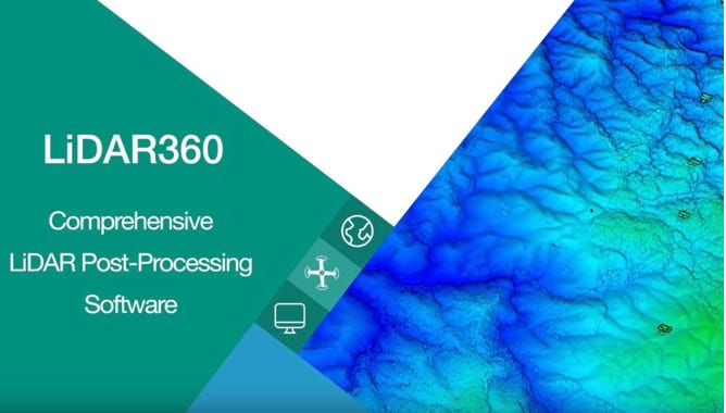
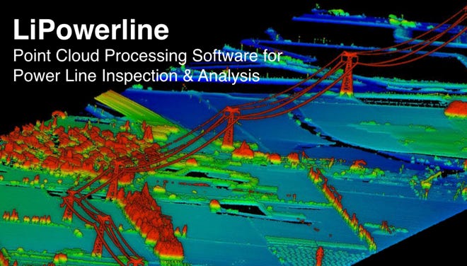
GVI LIDAR360
Point Cloud Post-Processing Software
Trimble DA2
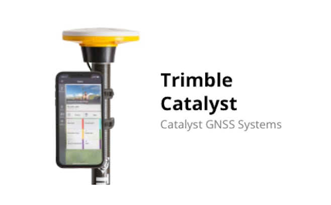
Catalyst GNSS Systems
GPS, Galileo, GLONASS, BeiDou, QZSS, IRNSS, MSS, SBAS Satellites
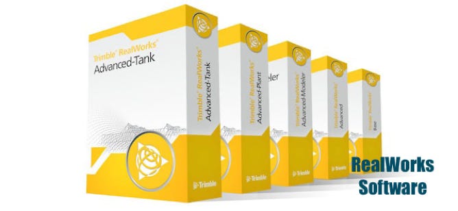
Trimble RealWorks
Point cloud processing and compelling deliverables for professionals.
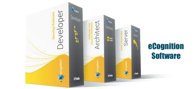
Trimble eCognition
Advanced Analysis Software for Geospatial Professionals
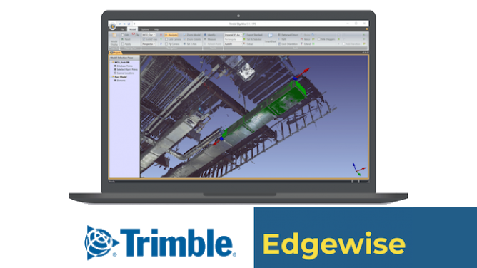
Trimble Edgewise
Automated 3D CAD Modelling Software
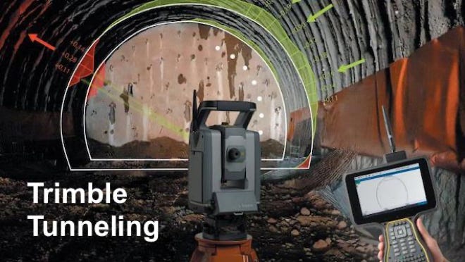
Trimble Tunneling
Fast and reliable measurement technology providing survey and construction professionals with confidence for each stage of a tunnel project.
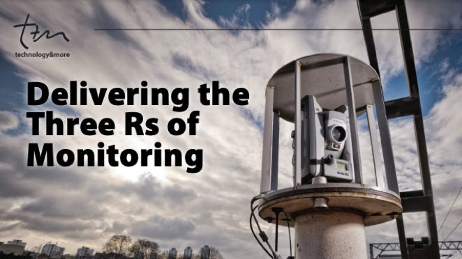
Trimble Monitoring
Automate detection to monitor the movement dynamics of transportation assets, structures, dams and mines.
Mantis Vision Advanced Echo™ software
A collection of scan & editing tools for 3D models

i n f o @ b u i l t i n f o . c o m . h k


+ ( 8 5 2 ) 3 5 6 5 5 2 1 2
All Rights Reserved 2022